Red Pine (MT)
Overview
-
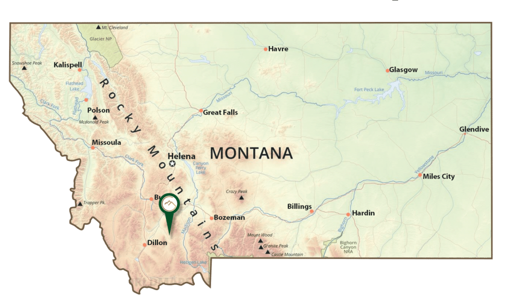
- The Red Pine Project is located near Sheridan, Montana, on 20 unpatented mining claims
- The geology of the mine (Archean age rocks) lends itself to long-lived gold production from deep-seated, orogenic veins
- The existing resource estimate (which is not 43-101 compliant) is 62,086 tons grading 0.448 (opt) gold and 1.025 opt silver (totaling 27,814 oz. gold and 63,638 oz. silver)
Exploration Work and Potential
✔️ The Red Pine Mine has the potential near-term gold production from a high-grade system.
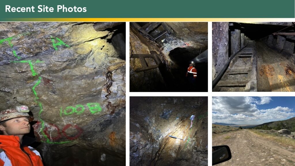
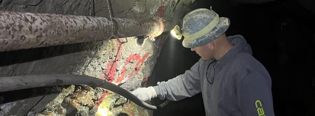
✔️ Crews will begin work again at the property by June, 2025, continuing the repair of the underground workings which began last year. This work will focus on repairing the raises in several of the historically mined stopes, and reconfirming the mineral resource in those stopes through channel sampling.
✔️ New drill stations will be installed for downward and upward drilling of the known ore bodies, confirmation and expansion of the known resource.
✔️ Tunneling on the vein to the southwest is an additional option to potentially expand the resource by finding new ore shoots along the strike of the vein.
✔️ The Company’s goal is to establish through exploration a total of 200,000 tons similar grade to that of the existing historic resource. This would create an 8-year mine life at projected rates of production.
The Red Pine project is focused on an underground vein-hosted gold-silver resource. The goal is to expand this resource to approximately 200,000 tons of ore grade material for an 8-year or more mine life.
Permits:
-
- The Project is located on U.S. Forest Service Land
- Permitting is with the Forest Service and the Montana Department of Environmental Quality (DEQ)
- Currently operating under a Notice of Intent (NOI) and Road Use Permit
- Allows underground repair work and exploration
- Fixing of several rough road conditions
- Plan of Operations filed in December, 2023
- This permit would allow seasonal mining if the permit is approved


