Yellow Band (MT)
Overview
-
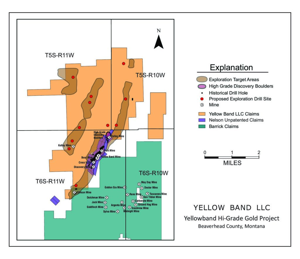
- The unpatented mining claims are located in the historic Argenta Mining District, Pioneer Mountains, near Dillon, Montana
- Gold Express is working towards a bulk mining permit that would allow gold production from Yellow Band on a limited basis
- Exploration on the property has expanded the Yellow Band mine into a much larger area
- Existing Historic Mineral Resource estimates (all categories) range from 1.2 MT at 0.378 opt Au to 1.9 MT at 0.283 opt Au with silver credit of ~2.7 opt Ag.
Yellow Band Operating’s land position consists of 464 unpatented lode mining claims
(appx. 15.14 sq. miles)
Exploration Work and Potential
✔️ Bulk Sample Permit granted by the United States Forest Service July 2024
✔️ Regional geological studies are ongoing;
✔️ Phase Two drilling will target high potential areas to the northeast and northwest of the Phase One drilling on the expanded land package (that the company has staked in the last several years).
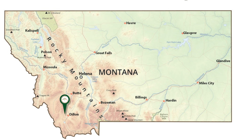
Yellow Band is an exploration and development project located close to Dillon, Montana. The project is a historical gold mine hosted in limestone rocks. There have been a large number of studies and work programs completed on the Yellow Band mine area over the last three decades. Geological mapping and sampling have identified areas in a much broader area than the original claim package which are prospective for mineralization which has resulted in the acquisition by staking of a much larger land package.
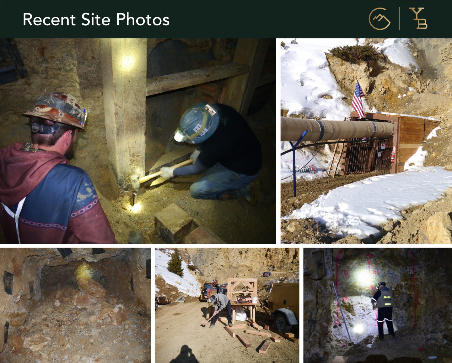
Low impact drilling over the summer of 2024 was undertaken to verify the existing resource. An exploration drill program is planned for other prospective areas, pending the drill permit.
Permits that have been received or are pending:
- Permits that have been received:
- Historic Yellow Band Minesite (resource confirmation drilling)
- Approved January, 2024
- Bulk Sample Permit (up to 10,000 tons for metallurgical testing and underground mine design purposes)
- Approved by the United States Forest Service in July 2024; approved by the Montana Department of Environmental Quality (DEQ) in September, 2024.
- Exploration Drill Permit
- Submitted and pending approval.
- Historic Yellow Band Minesite (resource confirmation drilling)
Yellow Band geologists have recognized the similarities of the Yellow Band area to the Carlin Gold district in Northern Nevada. The closest geologic analogy to the gold mineralization at the Yellow Band Mine area is the Bootstrap District, Northern Carlin Trend, Nevada.
Geology and Mineralization
Gold mineralization control factors at Yellow Band:
- The mineralization is fine-to-coarse-grained native gold from 15 to 125 microns in size;
- There are a few sulfide minerals associated with gold, mostly pyrite and chalcopyrite;
- The gold mineralization is restricted to the quartz veins and silicified breccias associated with thrust faults in and cross-cutting, high-angle faults;
- The mineralized quartz veins and silicified breccias are commonly crushed, fractured, or intensely re-brecciated as a result of continued movement on the faults and hydrothermal activity.